


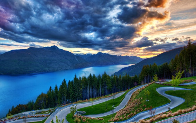
Scientists have identified a new land mass, 5 million square kilometers in area, in the southern part of the Pacific Ocean. Now it is considered the eighth continent of the Earth. Only 5% of the territory of this continent remains above water – this is New Zealand, New Caledonia and adjacent islands.
Zealand separated from the ancient supercontinent Gondwana more than 85 million years ago. It was part of Australia and Antarctica, but due to the movement of tectonic plates, the crust of Zealandia thinned and the continent gradually sank into the water. Only New Zealand, New Caledonia and small islands remained above the surface.
A scientific team led by geologist Nick Mortimer conducted a series of studies, including radiometric dating of rock samples and measurements of magnetic anomalies. This allowed scientists to discover that the rocks range in age from the early Cretaceous to the Eocene. They found sandstones, volcanic pebbles, and basaltic lava. Magnetic data allowed them to delineate the region’s boundaries, indicating its geological integrity.
The data indicate that Zealandia has all the hallmarks of a continent, including geological structure, rock type, crustal thickness, and formation history. Its research is ongoing.
Recall that astronomers have found a possible ninth planet in the Solar System.
To be continued…


Only registered users can leave comments